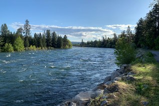

This 2.5 mile loop is in Dosewallips State Park right out of the campground. Depart the campground and head along the paved road for a large field off to your left. At a fork, take the left-hand branch, and follow signs for Maple Valley Loop.
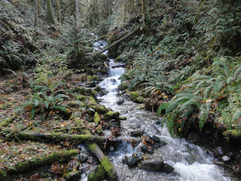
You'll enjoy a moderate climb as you leave the campground, which meanders up, down, and all around the park. Amble past waterfalls, through a valley lined with bigleaf maples and western redcedar before switchbacking up to a ridgeline. Benches at the mid-point and top of the ridgeline offer places to catch your breath, if need be, before you continue.
Soon you'll come to a junction with a gated road. Cross the road and follow the signs, now labeled 'Steam Donkey Trail'. This is the trail on which the small steam donkey - a steam-powered winch used in logging operations - ran when this area was actively logged.
Begin heading downhill now, passing several structures that WTA work crews have installed in an effort to keep the abundant water in this area off the trail. Turnpikes, culverts, and even the bridge across the large creek at the bottom of the hill are all WTA projects from years past.
Before the bridge, pass a large pond to your left. The water here powered the steam donkey when the area was still a logging show. Soon you'll come to another crossing with the road. You can either cross the road heading uphill about 50 feet to a small trail, or follow the road down; both ways will deliver you to the parking lot and campground in short order.
Dosewallips State Park - Maple Valley Loop

-
 Length
- 2.5 miles, roundtrip
-
 Elevation Gain
- 584 feet
-
 Highest Point
- 552 feet
This 2.5 mile loop is in Dosewallips State Park right out of the campground. You'll enjoy a moderate climb, which meanders up, down, and all around the park. Amble past waterfalls, through a valley lined with bigleaf maples and western redcedar before switchbacking up to a ridgeline, then return to the campground via a gentle downhill grade.
Continue reading
Hiking Dosewallips State Park - Maple Valley Loop

WTA worked here in 2023, 2022, 2020, 2019, 2018, 2015 and 2014!
Dosewallips State Park - Maple Valley Loop
Map & Directions
 Trailhead
Before You Go
Parking Pass/Entry Fee
Discover PassWTA Pro Tip: Save a copy of our directions before you leave! App-based driving directions aren't always accurate and data connections may be unreliable as you drive to the trailhead.